Class Details
3 Hours
4th Grade to Adult
hard
Find hidden markers in the woods with a map and compass.
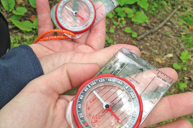
Students will spend about 45 minutes in the classroom. Compass skills will be reviewed/learned. Topographical map reading will be introduced. Then the students will be shown how to use the map and compass together. The class will travel to the start of a competitive orienteering course. After safety instructions are given, students will apply their newly acquired skills to locate off-trail control points.
Concepts
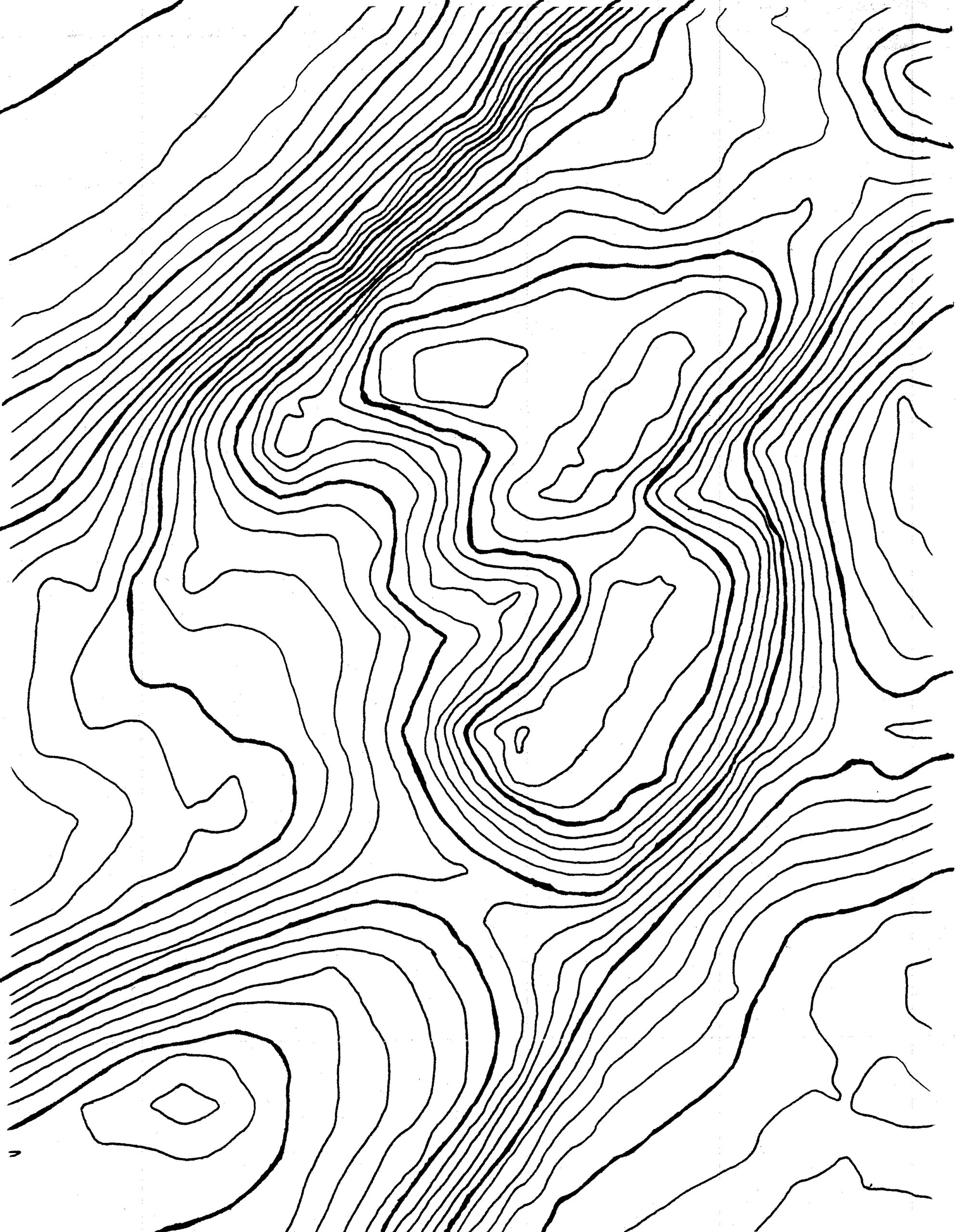
- Topographic maps are a 2D representation of a 3D world.
- Navigating with a partner takes patience, practice, and respect for people and ideas.
- Challenges provide opportunities for learning and growth.
- Becoming skilled in orienteering leads to being more confident in new territory.
- When we are comfortable being in remote areas, we can begin to appreciate wilderness.
Outcomes
- Orient a topographical map using a compass or land formations.
- Take a bearing from a map.
- Interpret the terrain on a topographical map between two points and determine the best path of travel.
- Travel to control points and return to the starting point at the end of class.
- Cooperatively work with a partner by demonstrating they can stay together, use sighting, and make decisions.